

|
|
|
|
No necessary in-game text
|
Harnmaster Atlas Harnica Map G2
Publisher: Columbia Games
Use our marketplace utrade!
Harnmaster Atlas Harnica Map G2

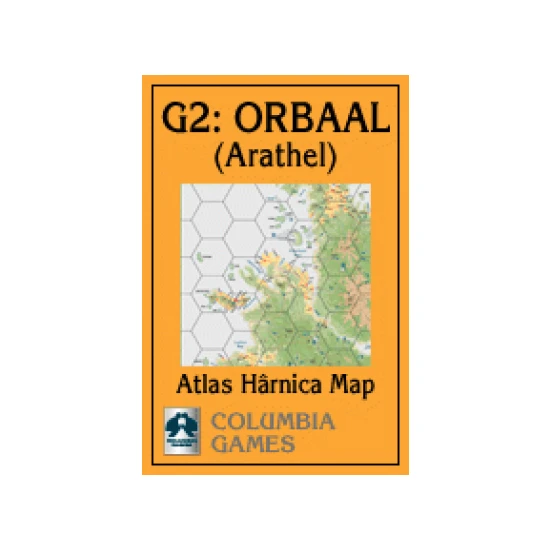
Atlas Hârnica map G2 covers the settled portion of the western edge of the Kingdom of Orbaal, including the major settlements of Arathel, Wethom, Pjagel, Vold, and Tandir. Like the rest of Orbaal, the terrain here is mountainous, with scattered villages, towns, and cultivated lands mostly along the rough coastline.
| Mechanics: | |
| Categories: | |
| Alternative names: | |
| BARCODE: | ????????? |
| This was seen 1451 times | |
CAUTION! Not suitable for children under 3 years of age. It contains small parts which could be swallowed or inhaled.