-
Wybierz język strony
-
 Deutsch
DE
Deutsch
DE
-
 English
EN
English
EN
-
 Français
FR
Français
FR
-
 Español
ES
Español
ES
-
 Italiano
IT
Italiano
IT
-
 Polski
PL
Polski
PL
-
 Português
PT
Português
PT
-
Wyślij do

-
Wybierz język strony
-
Deutsch
DE
-
English
EN
-
Français
FR
-
Español
ES
-
Italiano
IT
-
Polski
PL
-
Português
PT
-
Wyślij do
-
Wybierz język strony
-
Deutsch
DE
-
English
EN
-
Français
FR
-
Español
ES
-
Italiano
IT
-
Polski
PL
-
Português
PT
-
Wyślij do
-
Menu

-
Rankingi

-
Gry planszowe

-
RPG

-
Party

-
GDC

-
Akcesoria

-
Lego

-
Książki

-
Komiksy


Sprecyzuj wyszukiwanie

Wydawca: Columbia Games
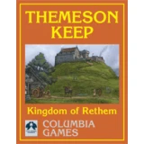
Harnmaster Themeson Keep

Themeson is disputed land, seized from the Thardic Republic just over a decade ago. Although technically part of the Kingdom of Rethem, Themeson is mo...
Wydawca: Columbia Games
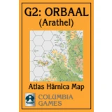
Harnmaster Atlas Harnica Map G2

Atlas Hârnica map G2 covers the settled portion of the western edge of the Kingdom of Orbaal, including the major settlements of Arathel, Wethom, Pjag...
Wydawca: Columbia Games
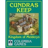
Harnmaster Cundras Keep
Cundras is the primary keep of the Order of the Lady of Paladins, a fighting order dedicated to Larani, goddess of chivalry and battle. From this stro...
Wydawca: Columbia Games
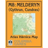
Harnmaster Atlas Harnica Map M8 Melderyn
Another beautiful atlas map for Hârn. This covers parts of Melderyn from the Anadel Highlands to the Gulf of Denina. This atlas map covers points of...

Wydawca: Columbia Games
Harnmaster Gedan Earthmaster Site
Gedan is a site of Earthmaster origin in eastern Orbaal. Situated in well-forested hills, it was used by the Jarin as an ancient burial ground and is...

Wydawca: Columbia Games
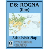
Harnmaster Ilby Vathran Castle
Ilby, the second-largest settlement in the Kingdom of Rogna, is held by Clan Gelda, whose warriors played a pivotal role in the Ivinian conquest of th...
Wydawca: Columbia Games
Harnmaster Atlas Ivinia Map
This Atlas Ivinia map features the eastern half of Heg Island, part of the fog-shrouded Elkyri Isles archipelago situated off the west coast of Ivinia...
Wydawca: Columbia Games
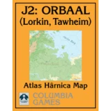
Harnmaster Atlas Harnica Map J2
Atlas Hârnica map J2 covers part of Hârn's eastern coast, in the mountainous, fjord-riven lands of the Kingdom of Orbaal. It includes the lands around...
Wydawca: Columbia Games
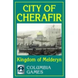
Harnmaster City Of Cherafir
Cherafir is the capital city and principal port of the Kingdom of Melderyn. The city is well fortified and its strong citadel is the main residence of...
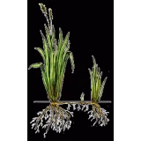
Wydawca: Columbia Games
Harnmaster Herblore
Color illustrations and descriptions of 36 different plants with special properties native to Hârn. Many herbs are thought to have miraculous medicina...